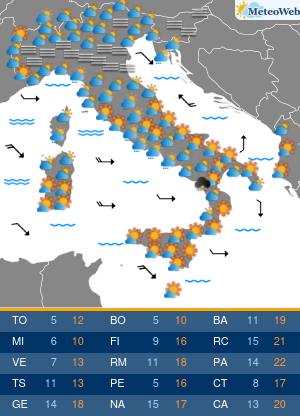
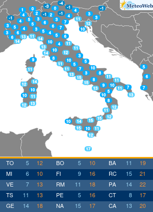
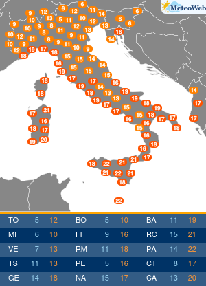
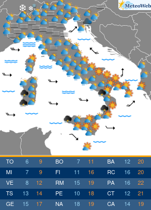
Torna la stagione dei fenomeni meteo estremi: siamo nel cuore della Primavera e tornano operative le allerta meteo di Estofex (European Storm Forecast Experiment). Nel bollettino emesso oggi per il weekend, gli esperti meteorologi di Estofex evidenziano un alto rischio di fenomeni meteo estremi nelle prossime ore tra Spagna, Francia e Nord Italia, con “forti temporali, raffiche di vento impetuoso e grandine grossa”. Gli esperti spiegano la dinamica sinottica della perturbazione atlantica in arrivo dal Golfo di Biscaglia verso il cuore dell’Europa, colpendo da sabato pomeriggio i settori più occidentali del Vecchio Continente.
In modo particolare l’allerta evidenzia la probabile formazione di un MCS temporalesco in Francia durante la prossima notte, con fenomeni meteo devastanti: grandine dal diametro superiore ai 5 centimetri durante i temporali più estremi. Il maltempo si sposterà poi sull’Italia nel pomeriggio di domenica, con fenomeni particolarmente estremi al Nord.
Per monitorare nel modo migliore possibile la situazione meteo in tempo reale, di seguito forniamo un elenco delle pagine con tutte le informazioni utili per seguire il nowcasting meteorologico minuto per minuto:
Il bollettino Estofex originale:
Storm Forecast
Valid: Sat 06 May 2023 06:00 to Sun 07 May 2023 06:00 UTC
Issued: Sat 06 May 2023 06:56
Forecaster: SCHLECKA level 2 was issued across parts of France and northern Spain for hail and wind gusts.
A level 1 was issued across parts of northern Spain, France, Switzerland, Austria, northern Italy, Slovenia for hail and wind gusts.
A level 1 was issued across Turkey, Cyprus and northwest Syria for hail and wind gusts.
DISCUSSION
France and northern Spain for the level 2, and for the level 1 this text description also includes several other surrounding countries.
A longwave upper trough and associated surface cold front lie to the west of Iberia and the Bay of Biscay initially, these features slowly progress eastwards to reach western France and eastern Spain by Sunday morning. Forward of these features deep well mixed boundary layer develops on Saturday afternoon, including across the high Spanish Plateau, with upper temperatures are cooling across this region during this time ahead of the trough. Initiation of deep diurnal convection is expected on Saturday afternoon and early evening across many of the areas elevated terrain in the region, along a surface cold front in western France and Iberia, and in addition a few discrete cells are also possible in the open warm sector ahead of the cold front across southwestern France.
Most of this convection will decay overnight, but close to the advancing trough axis, the convection will become elevated and upscale growth of this convection, with an MCS like feature probable across France overnight.
Within the level 2 region, just forward of the surface cold front on Saturday afternoon/early evening there will be an overlap of large MLCAPE values in excess of 1000Jkg (SBCAPE >1500Jkg), 0-6KM shear of 15-20ms, and an Effective Inflow Layer reaching 2KM in depth. These ingredients are marginally supportive of supercell development, with such a mode of convection able to easily produce severe wind gusts, hail >2cm diameter, and in this region have a reasonable chance, should a discrete cell form, of producing hail >5cm in diameter. Shear in the 0-500M and 0-1KM layer is generally weak, meaning the likelihood of strong low-level mesocyclones and tornadoes in association with supercells will remain low.
Within the level 2 area, the initial convection turns elevated overnight, and grows upscale into a MSC like feature. This remains capable of producing some isolated large hail with >2cm.
Within the surrounding level 1 region the afternoon convection is expected to be generally less organised with reduced cloud layer shear, and in particular lower Effective Bulk Wind Difference. A combination of high cloud bases and high CAPE still remain capable of producing an isolated severe wind gust and marginally severe hail. ~2cm diameter.
Turkey, Cyprus and northwestern Syria
A cut-off upper vortex and associated cold pool across Turkey only progresses slowly eastwards during this time, with a weak surface cold front shown by a wind veering to westerly following the features passage.
Beneath the centre of the upper vortex generally low shear but energetic diurnal convection is probable, bringing a marginally severe hail threat, and a chance of isolated strong wind gusts. However, on the southeast flank of the upper vortex and just ahead of the weak surface cold front, a southwesterly upper level jet leads to convection being able to take advantage of 15-25ms of 0-6KM shear. Coupled with MLCAPE >1000Jkg, this supports an area where some isolated supercell convection is probable, with this capable of producing large hail >2cm diameter and some strong wind gusts.


